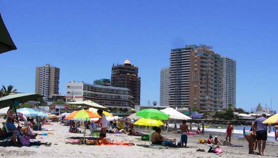
Our 2018 southern summer vacation was in Arica, in far northern Chile near the Peruvian and Bolivian borders. Things didn't start out well; on arrival I left my debit card in an ATM machine at the airport and lost it and the next day Alejandra had a bad reaction to a fish dinner and had to go to the emergency room where she spent the night an all of the next day, Saturday. Sunday we stayed in the hotel and rested, but by Monday she had recovered and we went back into vacation mode. (Click on photos to enlarge.)
So we went into town. Arica is a coastal city of about 200 thousand in the Atacama Desert where two valleys, the Azapa and the Lluta, bring water down from the Andes. These valleys were home to a series of indigenous cultures from about 10,000 years ago and Arica was settled by the Spanish in 1541. It was part of Peru from independence until Chile defeated Peru and Bolivia in the War of the Pacific and occupied the coast all the way to Lima. The current border border with Peru, 18 Km north of Arica, was agreed to in 1883.
 Downtown lies under the morro de Arica, site of the battle in which the Chileans defeated the Peruvian garrison, and which now has a huge Chilean flag and a large statue of Christ.
(Click on photos to enlarge.)
The commercial center includes a pedestrian mall--fairly pedestrian in itself--with the usual assortment of cafes and stores and, due to the nearness of Peru and Bolivia, currency exchanges.
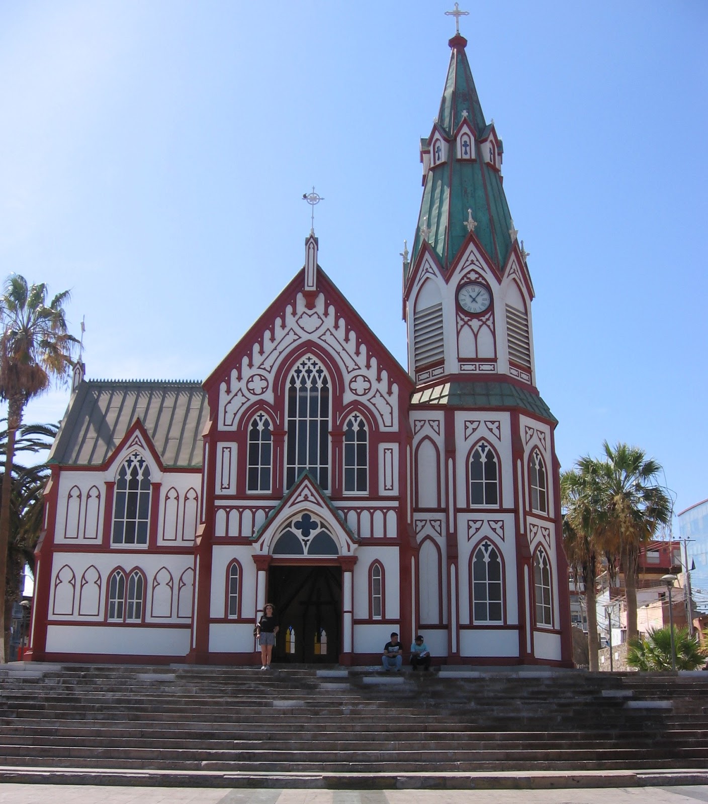
Nearby is the Cathedral de San Marcos, rebuilt in 1876 after its 226 year old predecessor was destroyed, along with the rest of Arica, in the earthquake of 1868. The building is all metal, prefabricated in France and shipped around the horn.
After leaving the mall and the old city center we went to the fisherman's wharf, complete with the usual assortment of small fishing boats, seals and pelicans.


The major activity of the port is shipping cargo and oil to landlocked Bolivia, which lost its access to the sea following the War of the Pacific.
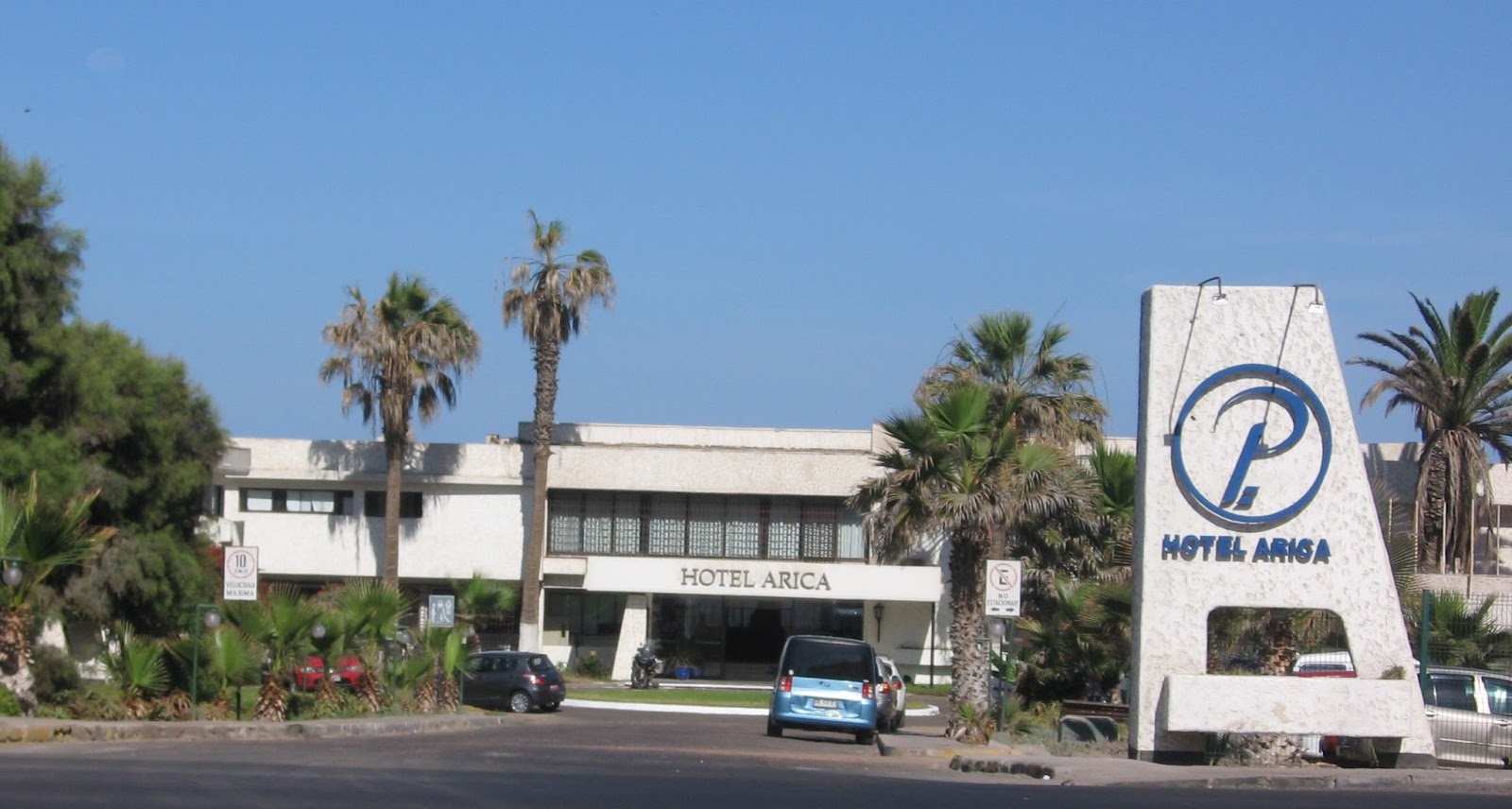
Then back to the Hotel Arica. Build in the 60s and showing its age, it's pretty clearly the best Arica has to offer, and is clean, comfortable, attractive, on the beach and has good food. All the essentials.


Pool
Salt water pool


Terrance
Dining room


Bar

Ocean View

In the evening we took a walk south along the coastal highway to La Lisera beach, popular for family pick-nicks and, since it's lighted, evening activities.

Tuesday was Azapa and Lluta valley tour day, a round trip of some 70 Km.
 The lower valley is the Azapa, were the intermittent Rio San Jose is fed by rain and melting snow in the Andes. The upper valley is the Lluta, where the river flows year round, heaviest in January and February. In between the road runs from San Miguel Azpa up about 1000 meters and then down into the Lluta at Poconchile. (The black line to the north is the Peruvian border.)
Our first stop was at Arica's Terminal Agropecuario, a huge market selling produce from the valleys--especially tomatoes and olives--as well as products from Peru and central Chile. The characters are (L to R) the Swiss tourist Rafael, our guide Ernest, Rafael's Brazilian wife Glindis, and Alejandra.

Our next stop was a hill over looking the valley and the geoglyphs on the adjacent hill side. The flat expanse of cloth covers tomato fields, protecting them from the strong sun. The green bands in the distance are olive groves. Arica and the Pacific are in the distance.

 These geogliphs, formed by positioning darker colored rocks on the sandy hillside, among hundreds in the Azapa and Lluta valleys, fate from between 500 and 1000 AD. Similar features are found throughout the Atacama desert and north to the famous Nasca lines in Peru. We also saw geogliphs near Iquique, were we went in summer 2010.
 Next stop was a very pleasant estancia with olive groves and many other fruits. The photo is of the sales room, where Azapa olives, olive wood carvings and T-shirts were available. The olives are cured using only salt brine. See the worthwhile article "Chile celebrates olives from Azapa" which includes a good video (in Spanish). For more on Chilean olives I happen to know of a pretty good blog: "Chilean olives and olive oil."


Next stop: University of Tarapaca's Museum San Miguel de Azapa

The museum also has the olive press from the original estancia at that location. The crushed olives were placed in baskets beneath the huge beam which pressed down on them with its own weight and the pressure of a large wooden screw pressing down on the far end.


Crossing the ridge, La Quebrada del Diablo, between the two valleys was scenic, if not verdant.

But the Lluta valley was both. The Rio Lluta runs year round, but the water's high mineral content limits agriculture to a few crops: mostly alfalfa, onions, potatoes, and an indigenous salt tolerant corn.

After crossing we stopped in Poconchile at the 17th century Church of San Jeronimo. The twin belfries were added later.


And there are several restaurants--pretty basic (salad, meat, rice, potatoes)--but not bad. We ate here at Puro Chile.
Our last stop was at the mouth of the Lluta, a protected area where up to 20,000 birds of 125 species congregate in December through February, many from North America.


 The most common, seen all over the Arica waterfront, is the Franklin Gull.
There are crabs too.

 The first stop was the mouth of the Lluta, which we saw the day before, but we had more time and our guide, Jennifer, was much more knowledgeable about the birds.


The following day we took another tour, the "panoramico."

We arrived a little early.
 The first stop was the mouth of the Lluta, which we saw the day before, but we had more time and our guide, Jennifer, was much more knowledgeable about the birds.
Then we went to the Cuevas de Anzota, where the government is building a coastal pathway to the caves.
In addition to having been a shelter for the Chinchoro people, the caves and the surrounding cliffs were originally covered with a thick deposit of guano from sea birds which was mined for fertilizer.


Our final stop was the Morro, overlooking Arica.

The city

And on the point below, past the cove, our hotel.

On our final day, we took a tour to Tacna, the Peruvian city about 35 km from the Chile-Peru border and 45 Km from Arica.


Tacna, a city of about 300.000, is a commercial city, like Arica, but without beaches. Which is to say, it has little to offer tourists. Our tour, we discovered, was a "shopping tour," which is what most people go to Tacna for. Peruvian prices from gasoline to laundry detergent, toilet paper and restaurant meals are less expensive that Chile's.
First stop was the main plaza, where we had our picture taken in front of the cathedral, started in 1875, delayed by the war, and finished in 1954.

Then to a mall, where we bought Soles (Peruvian currency) and had a great liquado, AKA smoothy. Our companions are the Swiss-Brazilian couple and guide from the earlier tour and a Chilean couple.


I had a very good dish, filet of dorado, which in this case seems to have been a tropical catfish, crusted with black pepper corns, basil oil and a risotto of rice with yellow chile. Following her earlier experience with a different fish (also called dorado) Alejandra had to pass on fish, but had grilled chicken with a quinoa risotto.
Then following another shopping adventure (we bought souvenir T-shirts as gifts) we went back to Arica, and then back to Santiago the following AM.